Senselink — sensor units waking across a field, forming their own network, and building a live radiation heat map.

Measure anything, anywhere — for as long as it matters.
Senselink is one platform for field measurement: hardened units that carry their own power and their own network, and an operator app that turns what they read into something you can act on.
Own power
Battery and solar. No mains, no cabling.
Own network
Uses what exists — builds its own when it doesn't.
Any sensor
Radiation today. Whatever you need to measure next.
Your whole deployment, on one screen.
Every unit reports into a single live map — a heat surface you can read in a second, and the numbers behind it the moment you need them.
Active nodes
19/ 21
Avg dose
1.49µSv/h
Max dose
4.71µSv/h
Alerts
2
Nodes · by dose
- Node 21offline
- Node 09offline
- Node 054.71 µSv/h
- Node 073.84 µSv/h
- Node 183.21 µSv/h
From a raw reading to a decision.
Live heat surface
Readings become a continuous field on a real map, not a table of numbers to interpret.
Replay the past week
Scrub back through recorded history and watch how a situation actually developed.
Thresholds you set
Calibrate the scale to the site. What counts as elevated is your call, not a fixed preset.
Alerts on exceedance
Crossing a threshold surfaces immediately, with the unit and the reading that caused it.
Faults, caught early
Silent units and impossible readings are flagged and excluded before they skew the picture.
One pipeline, any sensor
Radiation, gas, weather, or your own payload — same network, same app, same alerts.
No power. No network. Nobody there.
The places worth measuring are rarely the places with a socket and a signal. Everything a unit needs to keep working, it brings with it.
No power on site
An onboard battery pack with solar top-up. A deployment keeps running long after the last person leaves it.
No network on site
LoRaWAN where there is coverage. When there is none, the units link to each other and route the data out themselves.
Nobody on site
Readings, alerts, and hardware faults all arrive remotely. Going back to the field is a choice, not a requirement.
Three steps. No site works, no crew.
Deploy
Place the units by hand or drop them by drone. They power up, find themselves, and start measuring.
Connect
They reach the app over LoRaWAN where coverage exists — and form their own mesh where it doesn't.
See
Readings land as a live map, a recorded history, and an alert the moment something moves.
Where a measurement matters and nobody is there to take it.
Urban air quality
Dense city networks of affordable sensors, corrected against reference stations — pollution and exposure mapped street by street.
Nuclear safety
Perimeters, waste sites, and incident zones — mapped continuously instead of sampled on a schedule.
Emergency response & defence
A hazard picture that builds itself while the area is still too dangerous to enter — and keeps reporting where networks are jammed or absent.
Whatever you need to measure
One modular platform, a different sensor payload — radiation and air quality today, your parameter next.
Organisations responsible for what they cannot see.
- Cities & environmental agencies — urban air-quality monitoring
- Nuclear operators (e.g. Slovenské elektrárne)
- Emergency response units (e.g. Fire & Rescue Service of Slovakia)
- Defence sector (e.g. Ministry of Defence of Slovakia)
- Research institutions (e.g. FEI STU, Slovak Academy of Sciences)
- Industry with sensors of its own — controlled and collected through one platform

Faculty of Electrical Engineering and Information Technology, Slovak University of Technology — radiation sensing and validation.

Air-quality startup — our first commercial deployment: urban pollution and exposure monitoring.
A hands-on team built around execution, not theory.
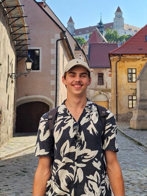
Adam Virlič
CEO
Leads hardware development, from electronics and embedded systems to sensor integration.

Jakub Virlič
CTO
Owns the software end to end — web app, database, and node communication — and keeps finances and partnerships on track.
Samuel Hamza
Mechanical engineer & graphic designer
Designs mechanical systems and the company's visual identity.
From a student project to a company.
2024
CanSat team ZCT3
The founding team forms around a CanSat.
2025
Slovak CanSat competition
Competing nationally with our first flight hardware.
2025 – 2026
Testing with FEI STU
Field testing with the Faculty of Electrical Engineering.
Summer 2026
Company founding
Senselink becomes a company inside the SPACEPORT incubator.
Autumn 2026
Fundraising
Backing the push to TRL 4 and a field-ready platform.
2027+
Pilots & scaling
First pilot deployments, validation, and new sensor payloads.
Let's build resilient sensing together.
Pilot partners
Sites in defence, civil protection, and industry ready to put the platform in the field.
Sensor partners
Bring the payload — we bring the power, the network, the pipeline, and the app.
Strategic backing
Deeptech, hardware, and resilient-communication expertise to sharpen the path.